 Monknewton - Credit: Wikimedia Commons
Monknewton - Credit: Wikimedia Commons
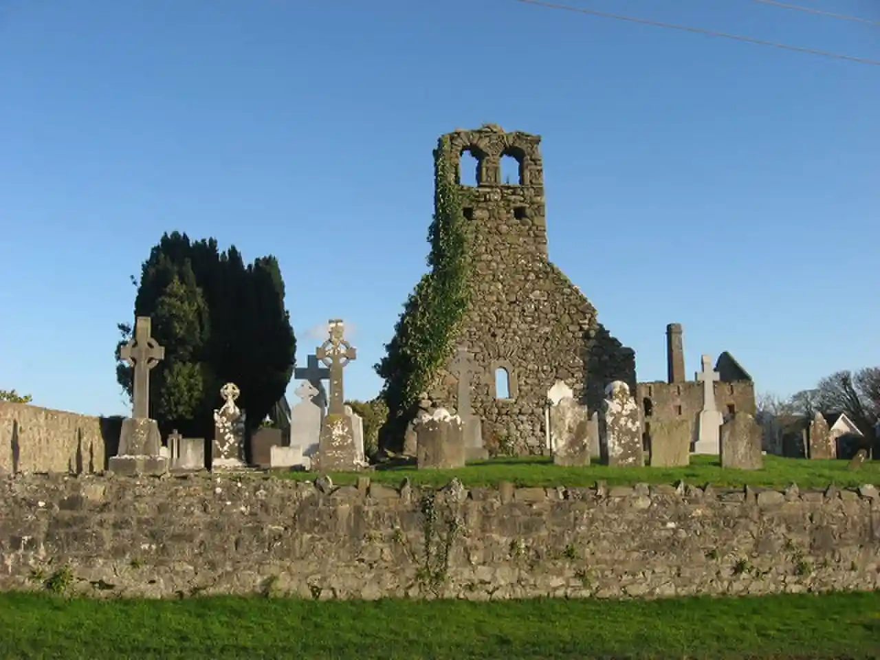
Monknewtown (), historically called Rathenskin, is a townland 3 km east of Slane in County Meath, Ireland. It stands on the right bank of the Mattock River, which feeds several historic watermills nearby and which forms approximately the townland's eastern boundary with Keerhan and Sheepgrange townlands in County Louth. Neighbouring townlands to the south are Balfeddock, Knowth, and Crewbane, to the west Cashel, Mooretown, and Knockmooney. The northern boundary of Monknewtown with Kellystown is formed by a tributary of the Mattock River, while the southern boundary is formed by the N51 road. Other than the latter, only minor roads traverse the townland, among them L5606 from west to east. Read more on Wikipedia
Source: en.wikipedia.org