 New Harmony Historic District - Credit: Wikimedia Commons
New Harmony Historic District - Credit: Wikimedia Commons
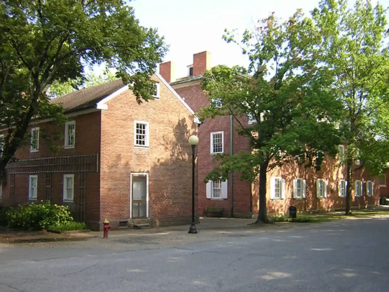
The New Harmony Historic District is a National Historic Landmark District in New Harmony, Indiana. It received its landmark designation in 1965, and was placed on the National Register of Historic Places in 1966, with a boundary increase in 2000. The district includes properties within the Historic New Harmony State Historic Site. Twelve buildings from the early 19th century and twenty from the mid-19th century are within the district. The original boundary was Main Street between Granary and Church Streets and was later increased to include the area bounded by North and Steam Mill Streets and between Third and Arthur Streets.New Harmony Historic District boundaries are described in two listings: 660000006 and 00000669 Read more on Wikipedia
Source: en.wikipedia.org